
Route planner & offline maps
Plan it here.
Walk it anywhere.
The map app for everything you do outside: plan routes, share them with your group and keep navigating when the signal drops.
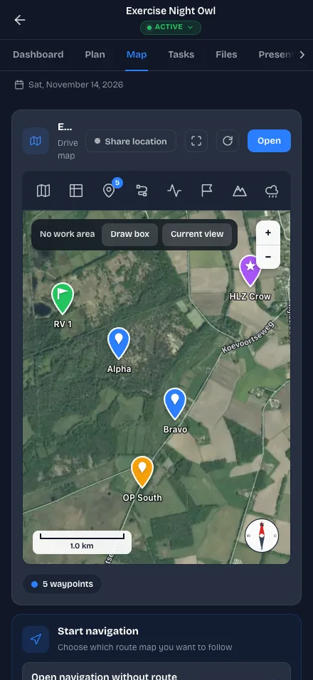
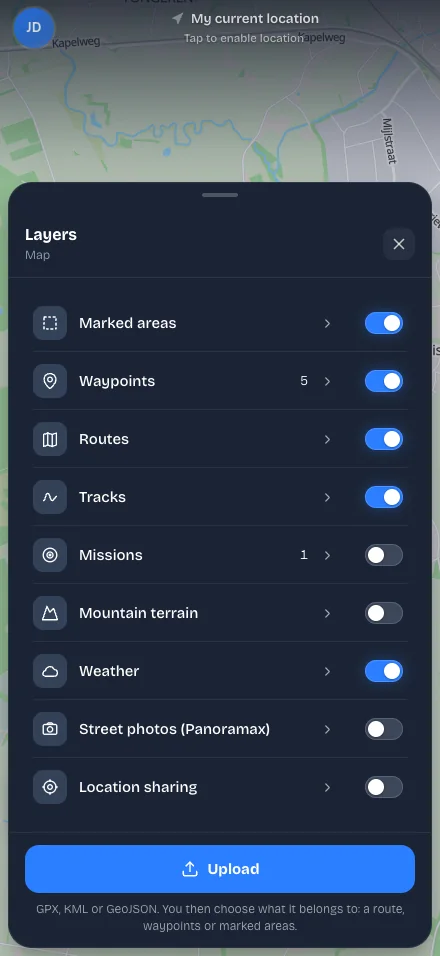
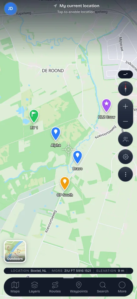
- 10K+
- Users worldwide
- 12
- Languages available
- 200,000+
- Kilometres of routes to explore
- 3
- iPhone · Android · Web
- Netherlands: 1,885 routes
- Belgium: 2,181 routes
- Luxembourg: 572 routes
- Switzerland: 320 routes
- Germany: 2,339 routes
- Austria: 2,062 routes
- France: 3,557 routes
12,916 routes in 7 · Drag to rotate · click a country to explore its routesDrag to rotate · tap a country for its routes
“Download the map before you go. Your position and route stay on screen in the mountains, forest or dunes — with or without signal.”
Start your route
Your journey starts today
Everything in one app
Built for the field
From the first waypoint to the debrief — one app, one picture of the terrain.
Route planner
Unlimited waypoints, distance, elevation and time calculated per change.
Offline maps
Download regions and keep navigating in forest, mountains or dunes.
Live navigation
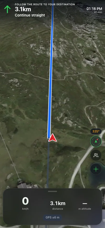
Direction arrow, distance to the next point and automatic arrival detection.
Live group positions
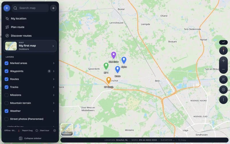
See your group on the map and share routes, waypoints and areas.
Encrypted chat
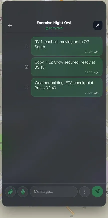
End-to-end encrypted chats with photos, files and rich text.
MGRS & grids
Enter and share MGRS coordinates, with a grid overlay on the map.
3D flyover
Fly over your route on real terrain and export it as a video.
Weather per day
Seven-day forecast with daylight, moon phase and wind at your location.
Terrain analysis
Slope and mountain overlays show where the terrain gets steep.
Missions & briefings
Structured plans, team roles and a presentation mode for the briefing.
PDF, KML & GPX
Import GPX, export route books as PDF and open routes in Google Earth.
Photos on waypoints
Attach photos to waypoints so everyone recognises the spot.
Explore
Discover routes and maps
Start from a place, a terrain or a coordinate.
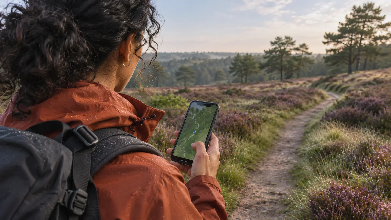
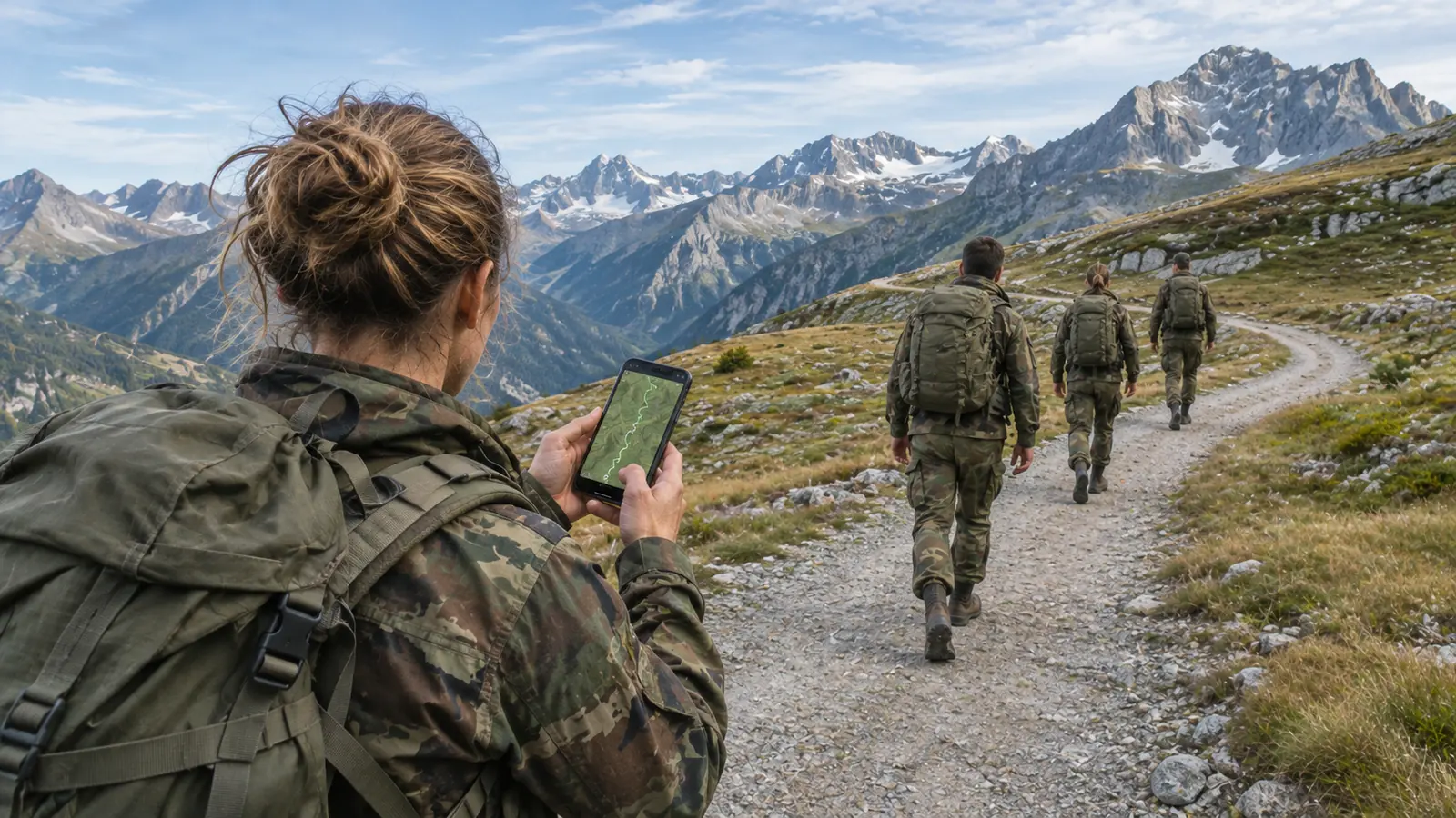
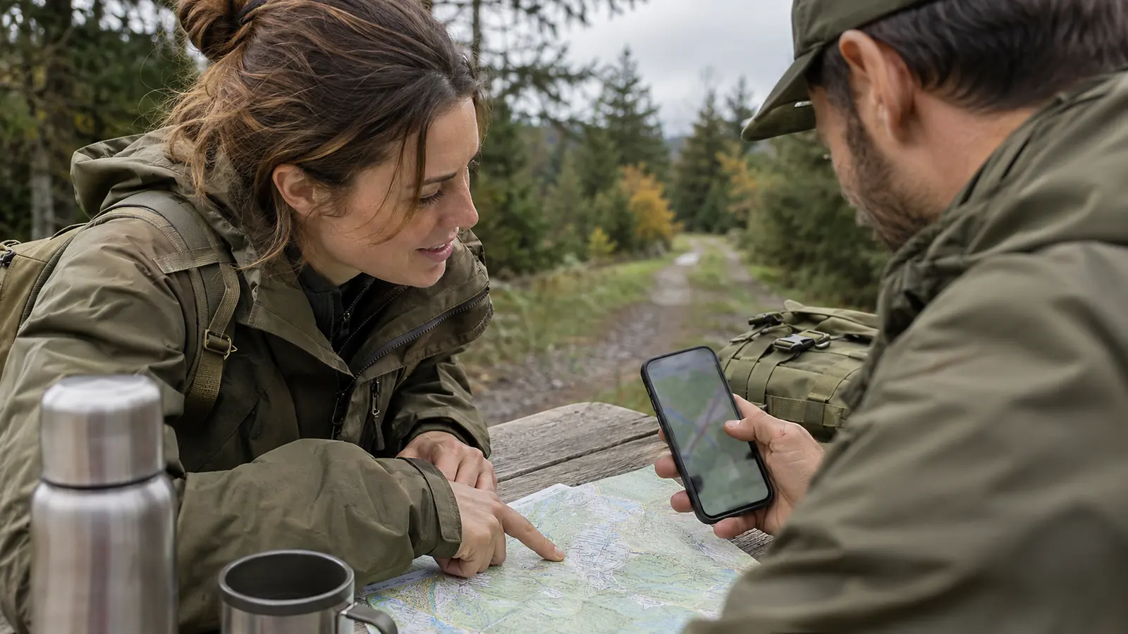
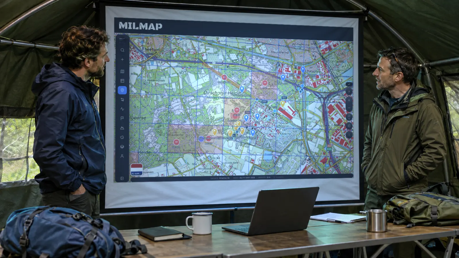
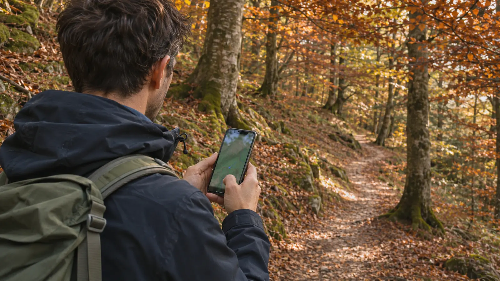
The MilMap way
Plan. Share. Navigate. Repeat.
As the map app for everyone who works and plays in the field, we built a calm place to prepare your route and to carry it with you.
MilMap works for a solo hike, a group of fifty and professional teams alike. Everything stays on your phone, so the map is there when you need it.
See all features- 1
Plan. Draw a route or import a GPX. See distance, elevation and time.
- 2
Choose. Pick topographic, satellite or country maps that fit the terrain.
- 3
Share. Invite your group and share routes, waypoints and areas.
- 4
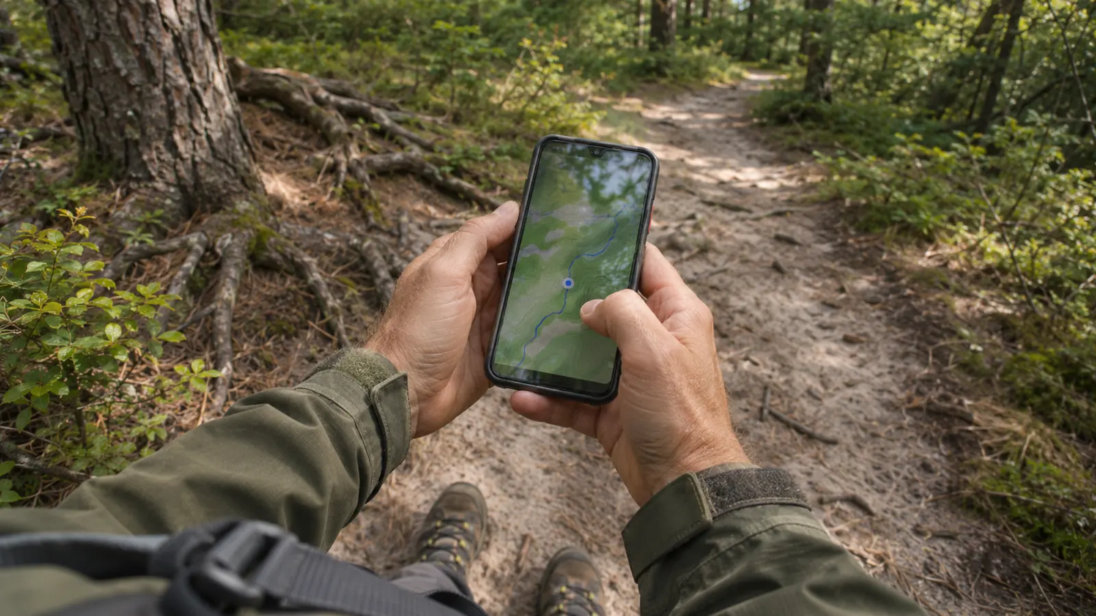
Download. Save the map offline before you leave the coverage area.
- 5
Navigate. Follow your route with your live position — also without signal.
- 6
Brief. Export PDF route books or present the plan on a screen.
Discover the app
In real time
Some of the many features built for the MilMap app include: live group positions, encrypted chat, weather, 3D flyover, GPX import and MGRS.
The app gives your team one trusted picture of the terrain — on iPhone, Android and the web.
Routes & areas
Explore the world
For example 31U FT 12345 67890 or Eindhoven
Netherlands
Belgium
Germany
Austria
France
Portugal
United States
- Acadia100
- Alabama75
- Alaska47
- Arizona100
- Arkansas32
- California100
- Colorado100
- Connecticut100
- Delaware15
- Florida100
- Georgia62
- Glacier103
- Grand Canyon78
- Grand Teton100
- Great Smoky Mountains100
- Hawaii13
- Idaho100
- Illinois100
- Indiana100
- Iowa100
- Kansas31
- Kentucky100
- Louisiana35
- Maine100
- Maryland100
- Massachusetts100
- Michigan100
- Minnesota68
- Mississippi7
- Missouri76
- Montana39
- Nebraska19
- Nevada60
- New Hampshire100
- New Jersey100
- New Mexico100
- New York100
- North Carolina100
- North Dakota16
- Ohio100
- Oklahoma25
- Olympic100
- Oregon100
- Pennsylvania100
- Rhode Island20
- Rocky Mountain100
- South Carolina100
- South Dakota18
- Tennessee85
- Texas52
- Utah100
- Vermont100
- Virginia100
- Washington100
- West Virginia100
- Wisconsin100
- Wyoming57
- Yellowstone100
- Yosemite100
- Zion77
Pricing
Simple pricing
Start with 7 days to try. Then pick the plan that suits you.
7-day trial — no credit card required
- Save 1 map
- Plan 1 mission
- Route planning (basic routes)
- Display MGRS coordinates
- Online map layers
- Import GPX
- MilMap mobile app
Pro
Or €49,99/year — save
- Unlimited map storage
- Mission planning (SMEAC/O-group)
- Export PDF route maps
- Marked areas
- Offline maps (unlimited)
- MGRS coordinates
- Elevation profile & terrain analysis
- Weather integration
- GPX/KML import & export
- Priority support
Connect
Per user per month, excl. VAT. Manage users and devices centrally.
- Everything in Pro for all your users
- Central licence and user management
- Device management and MDM support
- Your own branded sign-in
- Shared maps and missions across your organisation
- Personal onboarding support
All prices incl. VAT · Cancel anytime
FAQ
Questions, answered
No, but you can try MilMap for 7 days with 1 map, 1 mission and basic navigation with MGRS coordinates. After that you choose a plan. The Pro plan (€4.99/week or €49.99/year) adds weather integration, PDF export, SALUTE reports and unlimited maps.
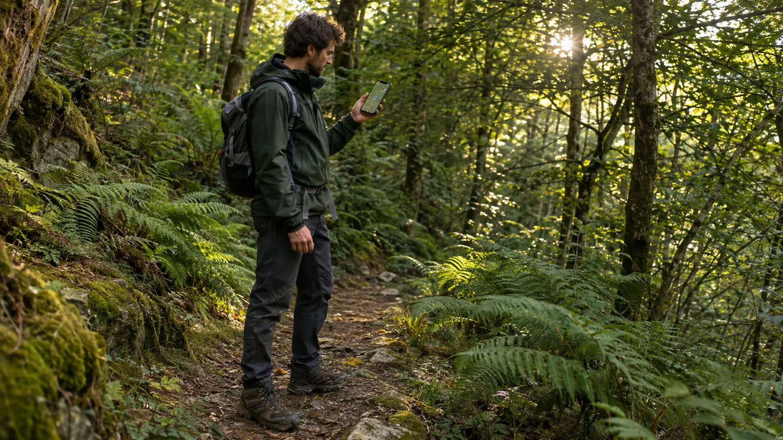
Your next route starts here
Created for people who go outside. Download MilMap and try it for 7 days.